As you embark on the journey of building a home in a new community, you’ll find yourself encountering an array of technical jargon and phrases. To help you navigate this landscape with ease, we’ve compiled a comprehensive list of commonly used terms. Whether you’re conversing with Developers, Home Builders, or municipal authorities, this quick reference guide will ensure you’re well-equipped with the necessary knowledge to make your new home build a breeze!
COMMUNITY DEVELOPMENT TERMS
Amenity: A designated area within a community that will benefit residents, including parks, playgrounds, pathways, water features, school sites, or commercial space.
Area Structure Plan (ASP): A long-range planning document that is the first step in obtaining approval for a future development. It proposes an overall framework for the development and specifies how essential services such as water, sewers, roads, schools, and parks will be provided.
Commercial Area: A portion of land within a development that is set aside for commercial or retail amenities such as grocery stores, gas stations, day care centres, and other local businesses.
Development Permit: Granted by the Municipality to the developer to proceed with the construction of buildings on their proposed development. Receiving the permit confirms that all the required parameters have been met.
Grading: The process of relocating soil to raise or lower the ground elevation to an appropriate level for construction.
Greenfield Land: Land that has never been developed.
Municipal School Reserve or School Site: A parcel of land set aside for future school development by the Municipality.
Neighbourhood Structure Plan (NSP): More detailed than the Area Structure Plan, the NSP outlines the specific land uses within a neighbourhood by type, size, and location.
Outline Plan: A high-level plan showing block patterns, hierarchy of roadways, and distribution of open space in a new community. It serves as the community developer’s guide for zoning, street types, planned school sites, commercial sites, and residential density (single family or multi-family sites).
Phase: A section of a community that is planned, designed, constructed, and released for home construction.
Right of Way (ROW): The legal right granted to use a specific section of land for various purposes, particularly related to transportation and utility infrastructure. For example, a ROW may be designated on residential land to accommodate utility lines. On City or municipality land, a ROW may be strategically placed to facilitate utility installations, roadways, and other essential infrastructure.
Stripping: The complete removal of organic materials such as grass and plants from the ground. The result is a cleared surface composed of silt, sand, and clay, which is suitable for both home and road construction. It is important to note that any organic material extracted during the stripping phase is not wasted. It finds new purpose in various green spaces, including parks, boulevards, medians, and completed lots.
Transit Oriented Development: Land designated for future municipal transit development, such as a future bus route or LRT line.
Utilities – Shallow: The term “shallow utilities” refers to the underground electrical, natural gas, and telecommunication networks that provide service for a community.
Utilities – Deep: Located farther underground than shallow utilities, “deep utilities” include the underground storm sewer, sanitary sewer and water main network.
Utility Right of Way (URW): This refers to a Right of Way intended specifically for utility-related purposes. It allows for the placement and maintenance of poles, conduits, cables, and other structures necessary for utilities.
ENVIRONMENTAL TERMS
Environmental Reserve (ER): Sections of land that will not be developed due to the presence of a ravine, gully, coulee, wetlands, natural drainage course, flood-prone area, or proximity to a water body. They are intended to preserve the natural features of the land.
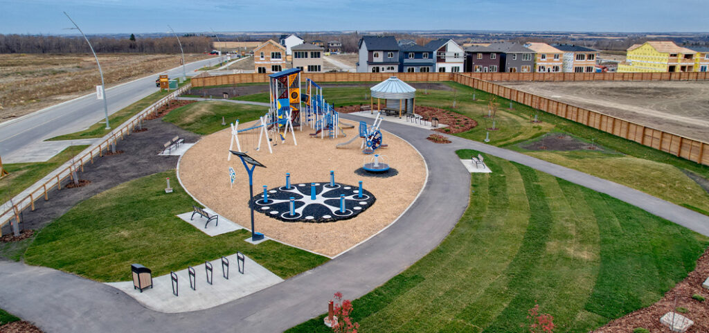
Municipal Reserve (MR): Parks built by developers that may include public trails, playgrounds, green spaces, recreational areas, or sports fields. A minimum of 10% of any development must be set aside for this purpose.
Storm Pond: Exists to collect and retain precipitation before it reaches the municipal storm system. In addition to providing beautiful scenery, storm ponds protect the community from possible flooding after a storm, limit the risk of erosion, and reduce the number of sediments and pollutants entering waterways.
Storm Pond – Dry: This type of pond remains dry and does not contain water most of the time. They only fill with water during heavy rain to prevent the stormwater system from becoming overwhelmed, thus reducing the risk of flooding.
Storm Pond – Wet: These storm ponds hold water year-round, and their water levels may rise significantly during a storm event. It is dangerous to use storm ponds for swimming or skating, as they are not designed for recreational purposes.
Swales: Drainage channels designed to direct water overflow to a drainage basin or stormwater system. Swales are long channeled depressions in the ground (called a bioswale) or man-made concrete trenches that receive, collect, and convey storm water runoff.
Wetland: A portion of land that has its own distinct ecosystem which is flooded or covered by water. Wetlands are typically protected as they play important roles in protecting water quality and providing flood protection.
HOME BUILDING TERMS
Building Envelope: The components that separate the conditioned space (indoors) from unconditioned space (outdoors), such as the exterior walls, foundations, roof, windows, and doors.
Building Permit: A permit granted by the Municipality to a Home Builder allowing them to begin construction on a home.
Cantilever: A small portion of the house which juts out on the side.
Eaves: The portion of a roof which overhangs the home, where an eavestrough would be installed.
Grade: The steepness of a particular slope, such as a driveway.
Home Elevation: A representation, often in 3D rendered or blueprint format, of a home’s appearance and specifications as seen from the front, sides, and back.
Lots: Pieces of land that are ready for Home Builders to purchase and sell to a buyer.
Plot Plan: The blueprint for the location of a house or building on any given lot. It will indicate grades, lot coverage, setbacks, drainage, foundation dimensions, and property lines.
Setbacks: The area from the property line to the edge of the buildable space of the lot. These parameters are determined by the Municipality based on bylaws and regulations.
For more information about Qualico communities in Edmonton and the surrounding area, please visit our website.